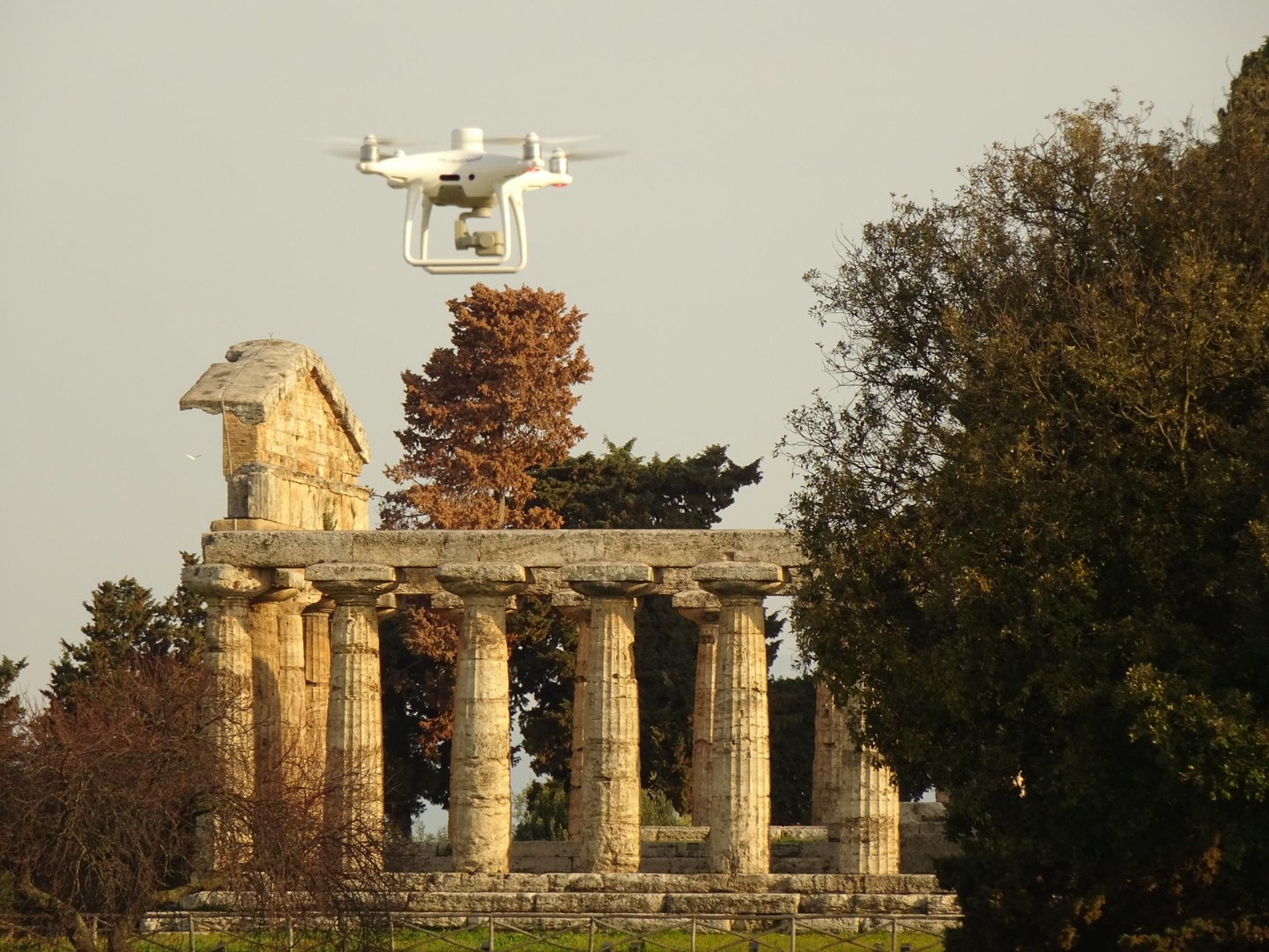
In support of various research projects of classical archaeology at the University of Bonn, Matthias Lang and Till Sonnemann from BCDH fly for several weeks the Italian archaeological sites of Paestum (Campania region) and Cerveteri (Lazio) with drones. The combination of different frequencies of the integrated multispectral camera provides information about plant growth in spring. Large-scale mapping can be used to find evidence of archaeology located underground and invisible to the naked eye, such as foundations or pits.
Drone photogrammetry for archaeological research projects at the University of Bonn Drone photogrammetry for archaeological research projects at the University of Bonn
BCDH team flies over archaeological sites in Italy

2023 Drone with multispectral camera in front of Athena temple in Paestum
© Sonnemann, BCDH
Download all images in original size
The impression in connection with the service is free, while the image specified author is mentioned.
